

Spatial Intelligence
Solutions for Challenging Environments
Advanced LiDAR, Underground Robotics/UAV, Navigation and Remote Sensing Solutions for Mining, Surveying and Infrastructure.
Precision EngineeringGlobal Reach
Sub-cm Accuracy
Field-proven precision down to 1 centimeter across all environments and conditions.
300m+ Range
Deep penetration LiDAR that captures what others miss — from open pits to underground tunnels.
Enterprise Support
24/7 global engineering support with rapid deployment in over 30 countries.
Explore Our Products
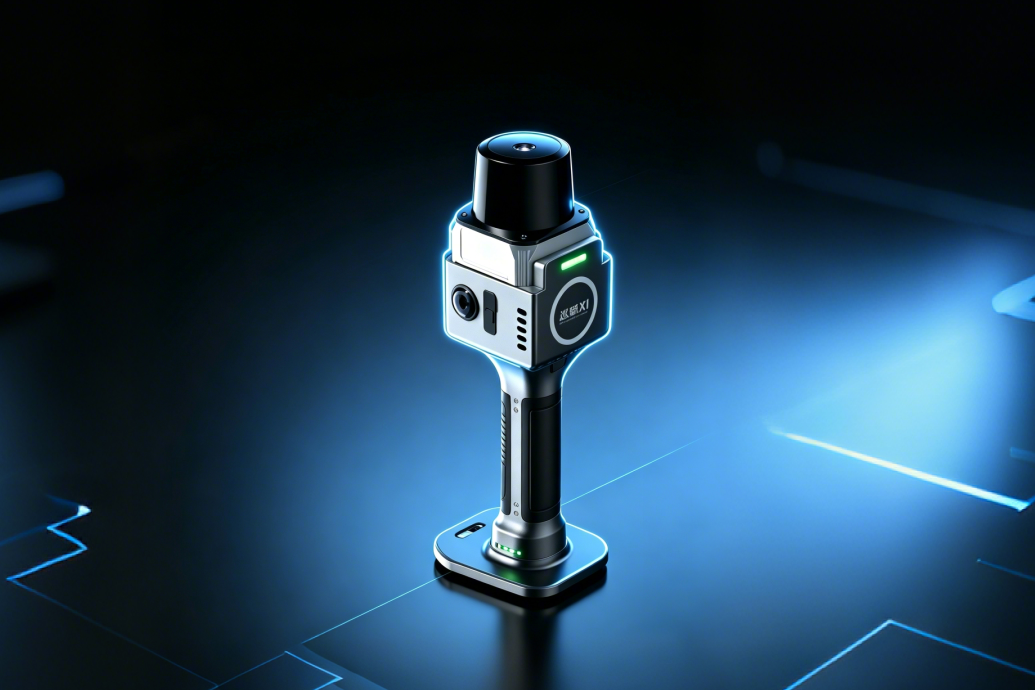
Handheld LiDAR Scanner
Lightweight, portable, field-ready
1.12 kg · 100 m · 1 cm accuracy
View Details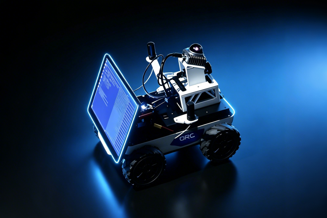
Autonomous Unmanned Vehicle (AUV)
Autonomous surveying for hazardous environments
High precision · Stability · Reliability
View Details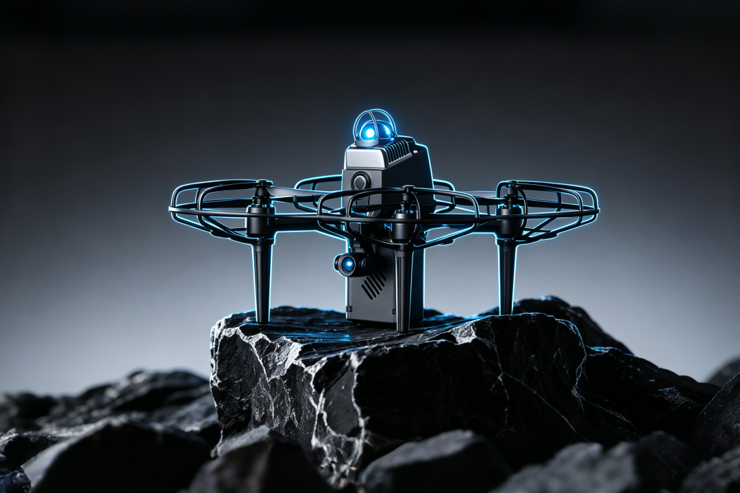
Underground Unmanned Aerial Vehicle (UAV)
Inspection-ready UAV for tunnels and mines
Autonomous · Exploring unknown Environments
View DetailsSolutions by Industry
Mining & Quarry
Reduce stockpile measurement time by 80% with drone-based LiDAR.
Learn MoreInfrastructure & BIM
BIM-ready surveys that streamline construction workflows.
Learn MoreForestry & Agriculture
Canopy penetration for biomass estimation and precision agriculture.
Learn MoreUrban Planning
Smart city digital twins built from high-density point clouds.
Learn More